Yara Werner · 30 September 2026
Seal Pup Monitoring Efforts Intersect with School Fieldwork to Inform Wind Energy Site Planning and Local Transport Petitions
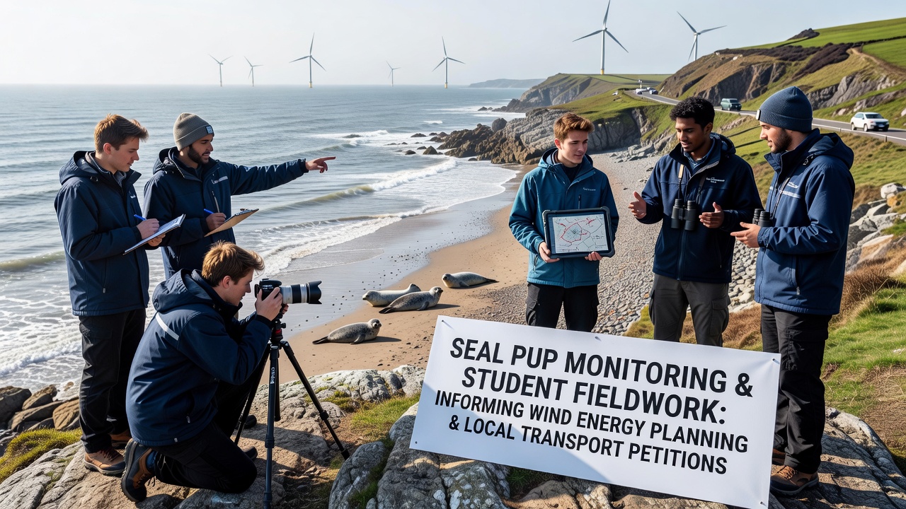
Coastal communities have long tracked harbor seal populations through systematic observation programs that combine professional surveys with educational initiatives, and these efforts now feed directly into decisions about offshore wind energy installations and related infrastructure petitions in regions like Cloverbay. Data collected during peak pupping seasons reveal birth rates, habitat use, and disturbance thresholds that planners incorporate when evaluating turbine arrays and the road or ferry upgrades needed to support construction traffic.
Monitoring Programs Track Seal Pup Development
Harbor seal pups typically haul out on intertidal zones between May and October, with the highest concentrations recorded in late summer, and monitoring teams deploy time-lapse cameras alongside weekly ground counts to document survival rates that average 85 percent in undisturbed sites according to long-term datasets from the National Oceanic and Atmospheric Administration. These figures help establish baseline conditions before any industrial activity begins, while acoustic sensors record vocalizations that indicate stress responses when vessels pass within 200 meters of rookeries.
School Fieldwork Expands Data Collection Capacity
Local secondary schools integrate seal observation modules into marine science curricula, sending groups of students to designated beach transects where they record pup weights, flipper tag numbers, and proximity to human pathways under supervision from certified biologists. In September 2026, participating classes will expand coverage to three additional coves, using standardized protocols that align with those used by state wildlife agencies so the resulting datasets merge seamlessly into regional databases. Students learn to differentiate between natural abandonment events and disturbance-related separations, contributing observations that refine models of how increased vessel traffic from wind farm logistics might alter pupping success.
Wind Energy Siting Incorporates Marine Mammal Data
Project developers reference pup density maps when selecting cable landing corridors and turbine layouts, adjusting exclusion zones to maintain at least 500 meters from primary haul-outs as recommended in environmental impact assessments submitted to federal permitting bodies. One study from the Australian Institute of Marine Science demonstrated that construction noise exceeding 160 decibels can cause temporary displacement lasting up to 14 days, prompting planners to schedule pile-driving operations outside peak pupping windows. The same datasets inform mitigation measures such as bubble curtains and soft-start procedures that reduce acoustic impacts on sensitive age classes.
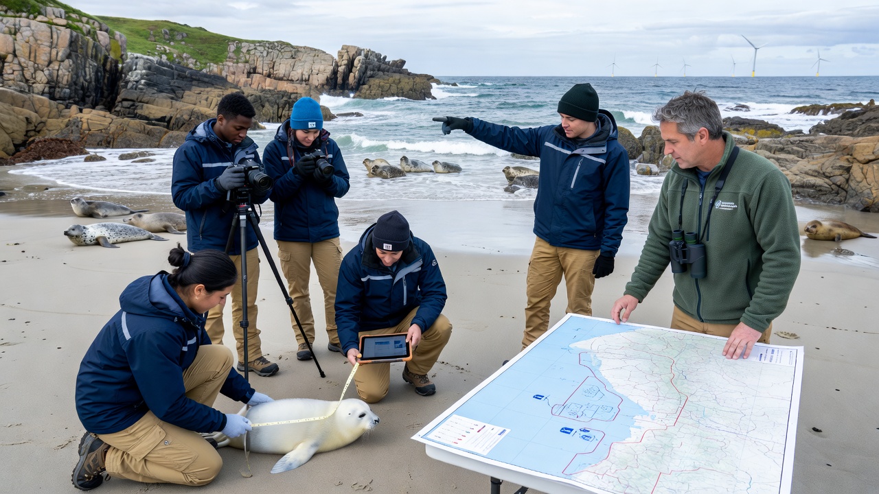
Transport petitions arise when residents request modifications to access roads that would otherwise route heavy equipment through sensitive coastal corridors, and monitoring data supplies quantitative support for alternative alignments that avoid seasonal congregation areas. Petitions filed with county planning departments cite pup count trends and habitat connectivity metrics, leading to conditions that require seasonal traffic restrictions or designated wildlife crossing structures during construction phases.
Integration of Fieldwork Results Shapes Petition Outcomes
School-collected records from the previous three seasons supplied evidence that a proposed haul route would cross within 150 meters of two high-use pupping beaches during September, prompting petitioners to advocate for a bypass that adds 4.2 kilometers but maintains recommended buffer distances. County records show three similar petitions granted in the past five years after comparable ecological data presentations, each resulting in adjusted timelines that align construction windows with periods of lower seal presence. Researchers from the University of British Columbia have documented parallel cases where student-generated spatial data influenced final infrastructure footprints, demonstrating how educational programs scale up monitoring reach without additional agency staffing.
Future Monitoring Expansions Planned for 2026 Onward
Program coordinators intend to deploy drone-based photogrammetry alongside traditional ground surveys starting in September 2026, increasing spatial coverage by an estimated 40 percent while maintaining the same data standards required for wind energy environmental reviews. Partnerships with regional ferry operators will test real-time pup alerts that notify vessel captains of nearby aggregations, reducing potential disturbance during supply runs to offshore sites. These layered approaches ensure that both energy development and local transport planning rest on continuously updated biological information rather than static assessments.
Conclusion
Seal pup monitoring combined with school fieldwork supplies measurable inputs that shape wind energy site boundaries and the transport petitions tied to construction access, creating a feedback loop where educational activities directly support regulatory compliance and habitat protection across multiple planning cycles. Continued expansion of these integrated programs will determine how future projects balance energy goals with documented marine mammal requirements in the same coastal systems.