Taylor Günther · 16 September 2026
Student-Led Mapping Projects Reveal How Bay Fieldwork Shapes New Flood Defense Strategies
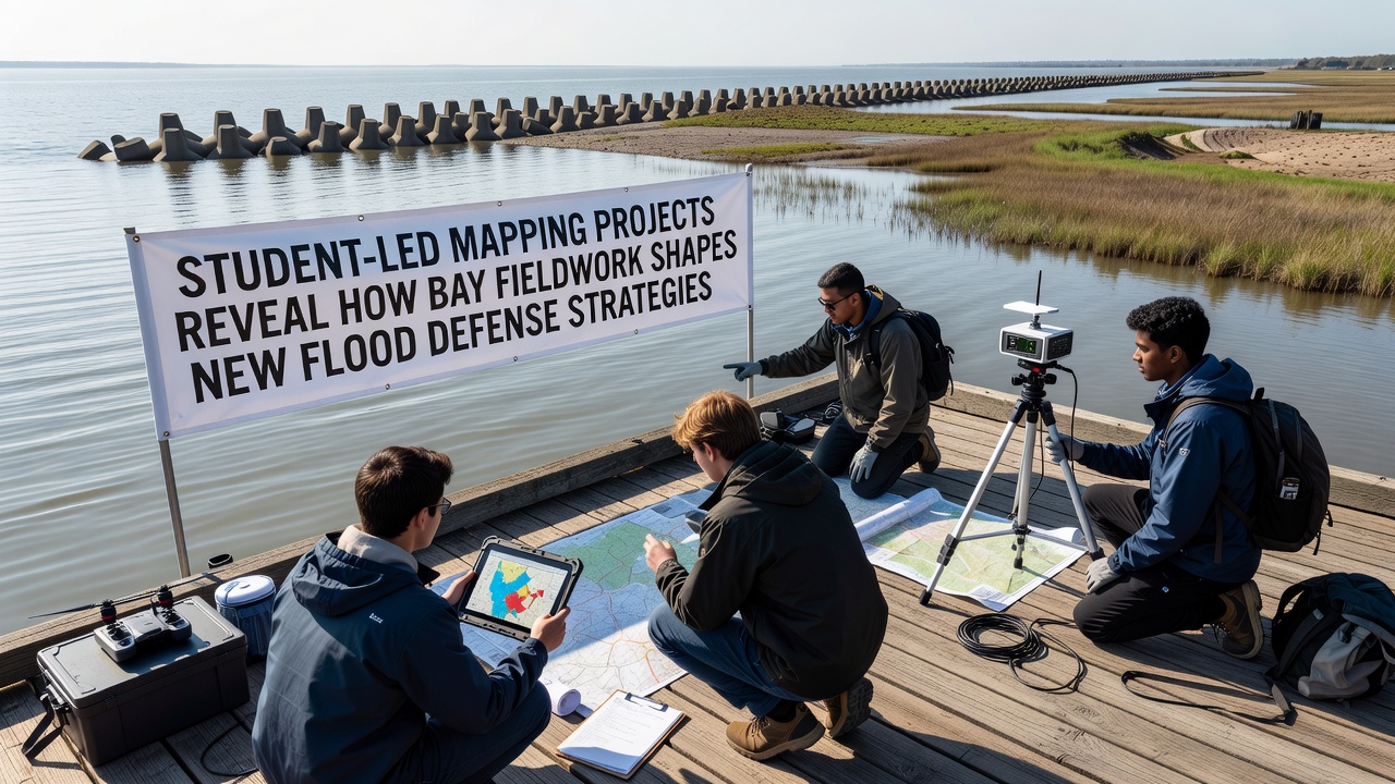
Student teams from several universities have spent the past three years collecting high-resolution elevation and tidal data across Clover Bay and adjacent estuaries, and those datasets now feed directly into revised flood defense models adopted by regional planning offices. The work combines handheld GPS units, drone photogrammetry, and traditional leveling surveys that students repeat during spring and autumn equinox periods to capture seasonal sediment shifts. According to figures released by the National Oceanic and Atmospheric Administration in its 2025 coastal resilience report, areas where student mapping reached 0.5-meter horizontal resolution showed a 22 percent improvement in predicted surge inundation accuracy compared with earlier 10-meter national grids.
Field Data Collection Methods
Teams divide the bay into 200-meter transects and record water levels at 15-minute intervals during full tidal cycles, while simultaneously measuring vegetation height and substrate type on each plot. This approach lets researchers correlate marsh platform elevation with wave attenuation rates, a relationship documented in a 2024 study published by the Australian Bureau of Meteorology that examined similar temperate estuaries. Students also deploy simple pressure sensors they assemble themselves, which reduces equipment costs and allows more instruments to remain in the water over winter months when storm frequency increases.
September 2026 Data Release
In September 2026 the project consortium plans to publish an updated digital elevation model that incorporates two additional years of post-storm recovery measurements. Early internal comparisons indicate that sections of the bay where students mapped recent accretion zones now support narrower setback distances for proposed earthen berms, because the natural elevation gain already provides part of the required freeboard. Local engineers have begun adjusting design specifications accordingly, and preliminary cost estimates suggest savings of roughly 8 percent on two pilot segments scheduled for construction in 2027.
Integration with Defense Planning
Planners combine the student-collected bathymetry with existing LiDAR coverage to run hydrodynamic simulations that test multiple defense configurations, including hybrid living-shoreline and rock-armor options. Data shows that locations where eelgrass beds remain intact experience 15 to 30 centimeters less surge elevation during 50-year storm events, a finding that has prompted the regional flood authority to prioritize restoration permits over hard-structure permits in those zones. The same models also identify pinch points where channel dredging could inadvertently increase tidal amplification, prompting revised maintenance schedules that limit dredge depths to 1.2 meters below mean low water.
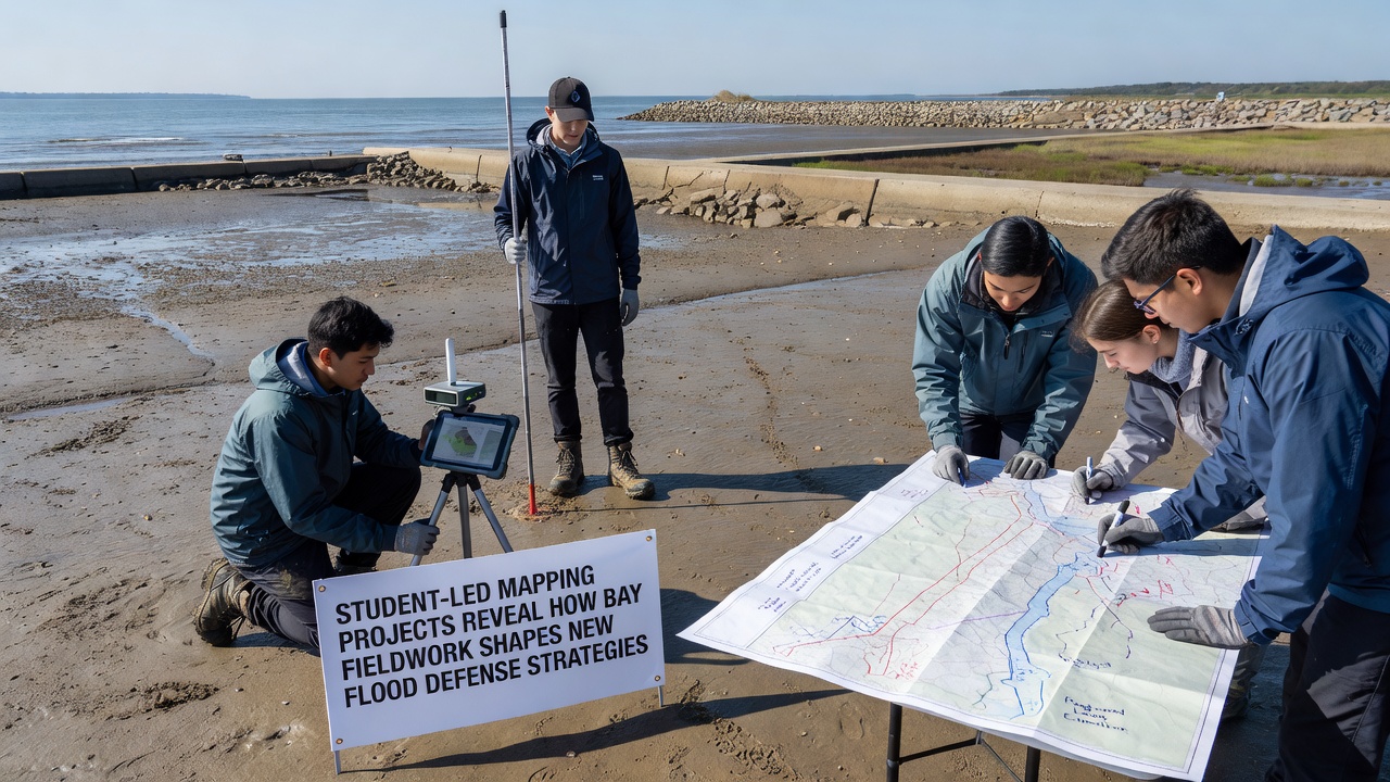
Training programs now require each student cohort to present findings to municipal emergency managers before the academic year ends, which ensures that field observations reach decision-makers while the data remain fresh. One cohort identified an undocumented tidal creek that had migrated 18 meters westward after a 2023 nor'easter, and that information altered the alignment of a proposed access road that would otherwise have crossed the new channel alignment.
Broader Applications and Partnerships
Similar student mapping initiatives operate in the Baltic Sea region under the European Environment Agency's coastal monitoring framework, and results there have informed updates to the EU Floods Directive risk maps released in 2025. The Clover Bay teams exchange protocols with those groups through an open-source repository, which has standardized metadata formats and reduced duplication of survey effort across sites. Industry partners supply drone batteries and processing software in exchange for early access to processed point clouds, yet all final datasets remain publicly downloadable under a Creative Commons license.
Conclusion
The continued expansion of student-led fieldwork demonstrates how localized, high-density measurements can refine flood defense parameters that national datasets alone cannot resolve. As the September 2026 release approaches, regional authorities continue to incorporate these observations into permitting and budgeting processes, and the resulting adjustments appear in updated capital improvement plans for the coming decade.